
Translation: Fork of the stone or grave
The Down Survey: The Down Survey of Ireland is the first ever detailed land survey on a national scale anywhere in the world. The survey is a cadastral survey of Ireland and was so called simply by its topographic details all laid down by admeasurements on maps. It was carried out by William Petty an English scientist in 1655 and 1656. The survey sought to measure all the land to be forfeited by the Catholic Irish, in order to facilitate it’s redistribution to merchant adventurers and English officers and soldiers in Oliver Cromwell’s army. It was to repay them and the many English politicians and adventurers who had funded Cromwell’s military campaign in Ireland.
The Down Survey name for the townland of Lee was Moniter Owen. In 1641 (pre Cromwell) the owner was Sir Thomas Blake a protestant. In 1670 (post Cromwell) it was still in protestant ownership of College of Dublin. It was in the half barony of Rosse (sic), in the parish of Rosse in County Galway. There were 604 plantation acres of unprofitable land; 71 plantation acres of profitable land and this amount was forfeited.
O’Donovan’s Field Name Books 1838: John O’Donovan tells us that the name of this townland is Lee, and the Irish form of the name is Lighe that translates as a grave or a stone.
Other forms of the name; Lee, Lighe, Lee (Boundary Surveyors Sketch Map), Lee (County Cess Collector), Lee (Local), Lee (Mearsman), Lee (Rev. Michael Heraghty), Lee (Tithe Ledger).
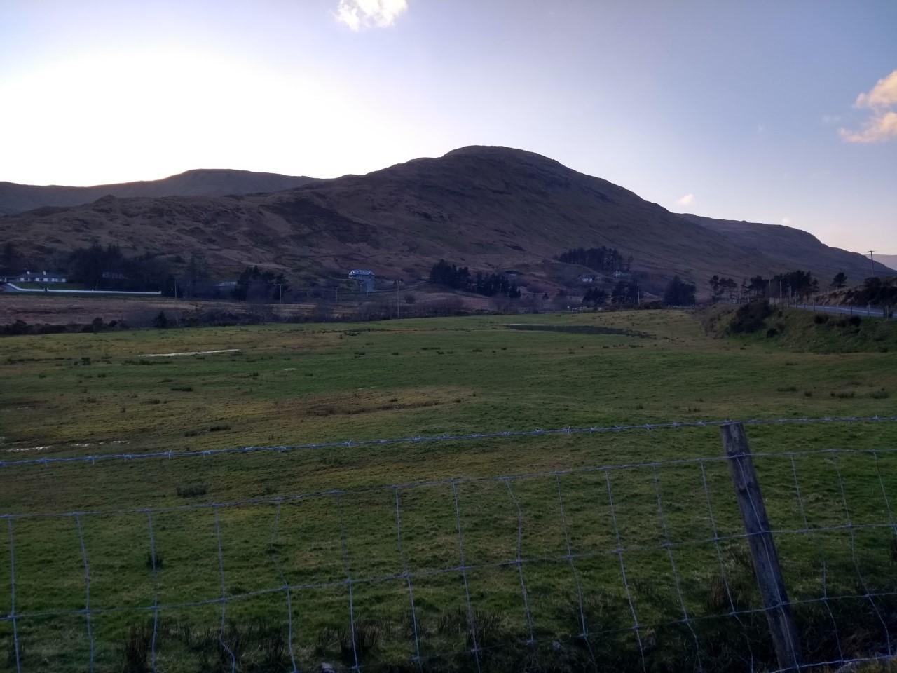
Description: The proprietor was the Earl of Leitrim and Charlemont, Rosshill parish. His agent was Mr. James Fair, Fairhill, Rosshill. The land was held under lease for a rent of £40 per year. The soil all mountainous; some steep with good green pasture and part mixed pasture, with arable pasture at the valley. The County Cess of 11¼ d was paid per acre half yearly for 34 acres. There was a farmhouse in the valley having a few stunted trees and some detached huts. There were no antiquities.
Griffith’s Valuation 1849:
The townland of Lee can be found on Ordnance Survey Sheet 25. According to Griffith’s valuation, Lee had an area of 769 acres and 8 perches. The land value at the time was £46.16.10.
The Earls of Leitrim and Charlemont were the landlords and they leased it to one tenant.
Plot 1: had and an area of 769 acres and Patrick Walsh was the sole occupier. Patrick had a house, office and land leased from the Earls. The land had a ratable annual valuation of £52 and the buildings were valued at £1. Patrick’s total annual rent was £53.
Census 1901:
Constable Thomas Parkinson the enumerator collected the census return for Lee in the electoral district of Letterbrickane, in the barony and parish of Ross, on the 5th April 1901. One family lived here at the time.
House no 1: Bartley Keane (60) and his wife Anne (60) lived in this house with their sons John (30) and Michael (16). Shepherding was the family occupation. None could read; all were bilingual. The house was 2nd class with a perishable roof that was presumably thatch. It had three windows in front and four people occupied three rooms. There was a cow house on the holding.
Peter Walsh was the name of the landholder where the house was situated.
Census 1911:
Constable Joseph Carlos enumerated the census for Lee on the 8th April 1911. The Keane family remained in the townland.
Ten years on, the census was expanded to include the following: Particulars as to Marriage / completed years the present marriage has lasted / children born alive to present marriage and children still living.
House No 1: John Keane (42) a shepherd was married to Mary (31) for nine years and they had four sons; Patrick (8), Michael (7), Martin (3) and Bartley (1). Mary was the only one in the household that could read and write. John and Mary were bilingual; the children were not, and this may indicate that English was the language of the home. The house was 3rd class with a perishable roof that was most likely thatch and it had two windows in front; six people occupied three rooms. There was a cow house on the holding.
Peter Walsh was the name of the landholder where the house was situated.


No Comments
Add a comment about this page