
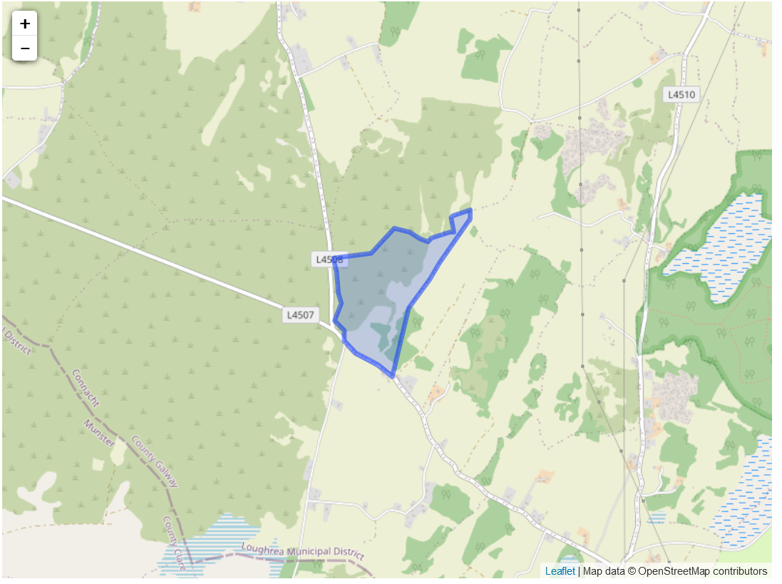
Situation: the standard name for the townland was Rockpark and was located in the west of the parish.
Description:
O’Donovon Field Name Book: the proprietor was General Taylor of castle Taylor with George Cuppage as the agent. It was let to 2 tenants at will in 2 divisions with an 8 pound yearly rent. The soil was rocky and sandy with the usual crops being wheat, oats and potatoes.
Down Survey: the name for the townland in the survey was Killmacouth. The owner in 1641 and 70 was the Bishop of Clonfert who was protestant.
Map reference one refers to Francis M.S Taylor and Martin and Michael Lally who lived on Francis’s land. This land was 81 acres, 3 roods and 10 perches and the house and land was 1 acre, 2 roods and 20 perches each. This was overall worth 11 pounds and 10 shillings.
There was one household in 1901 in the region with two people in it, both roman catholic and born in county Galway. The house had stone or brick walls with thatch or wood rooves and 2 to 4 rooms.
The head of family of house one was Martin Lally (27) who was a farmer and lived with his sister Mary (24) who also worked on the farm. They could both read and write and no language was listed.
No Comments
Add a comment about this page