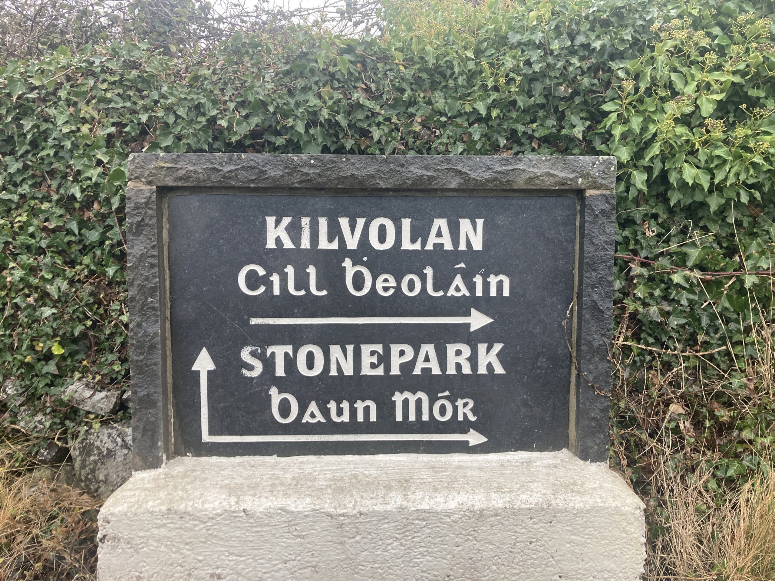
Bawnmore or Stonepark (An Bán Mór)


The name Bawnmore or Baunmore comes from the Irish An Bán Mór, meaning the big pasture. It is situated in the civil parish of Donaghpatrick, Barony of Clare. It is located in the west side of the parish and is bounded on the east by Kildrum, on the west by Oltore and Raheen, on the south by Carrowconlaun and on the north by Caherlistrane/Caherlustraun. (Source: Galway Library)
Irish name: An Bán Mór
English name: Bawnmore/Baunmore (Stonepark)
Meaning: The big pasture/ lea ground or the big green field
Bán: Pasture/lea ground
Mór: Big
Area: 101 Acres, I rood, 5 perches
Field names:
Civil Parish: Donaghpatrick
Barony: Clare
O’Donovan’s Field Name Books
As part of the Ordnance Survey of Ireland, from 1830 to 1842, John O’Donovan helped to collect and record the Irish form of townland names throughout the country. Information for each townland was collected and written into the Name Book along with information relating to land quality, crops and housing. (Source: Timeline Genealogy)
Other names: Stone Park (By. Surveyor’s Sketch Map). Stonepark (County Cess Collector), Bawnmore (Inq. Temp. Jac. I), Stonepark or Bawnmore (Local).
Description: Proprietor William D. Nesbett, Esq., Tubberadaley, Kings Co. Agent John Cornwal, Esq., No. 36 Rutland Square West, Dublin. Rent 20 shillings per acre. Almost all in pasture except a few acres. Soil middling good though light. The farm contains about 62 acres Irish. No lease. County Cess paid per acre is 14d. half yearly. No antiquities.
Situation: A central townland bounded on the north by the townland of Carrowlistraan, West by Raheen and Ultore, South by Carrowcunlon and on the East by Kildrum. In the Barony of Clare and County of Galway.
Other placenames in this townland
Halfway House Also known as ‘Halfway House Local’, was a house of entertainment situated at the junction of Raheen, Ultore and Stone Park townlands and on the road leading from Shruil to Galway.
Other names given on Logainm: Ederamonine, Edderamoineragh, Edderamoinragh, Addardavane, Advardavaune, Aderamona, Aherdemona, Ederdavone, Arderdavne.
The Down Survey
The first national-scale survey of its kind in the world, the Down Survey, taken in the years 1656 -1658, sought to acurately map the land in Ireland in order to facilitate its transfer from Irish Catholics to English Protestants after the Cromwellian conquest.
There is no information for Bawnmore/Stonepark.
Tithe Applotment Book 1826
The Tithe Applotment Books were compiled between 1823 and 1837 in order to determine the amount which occupiers of agricultural holdings over one acre should pay in tithes to the Church of Ireland. The land was measured in Irish acres, or plantation acres at the time. This equated to 1.698 English acres.
There was one record found relating to the Tithe Applotment Book 1826 for Bawnmore/Stonepark. The occupier named was John O’Flaherty on 62 acres of land for which was valued at £4 and 5 shillings and 10 pence for the Tithe Applotment. (Source: National Archives)
Valuation Office Books 1824-1856: House & Field Books
The valuation of Ireland was a cadastral survey made for the purpose of levying tax on property. A valuation price was put on every piece of property in the country and this became the basis on which local tax was charged, at a rate per pound of valuation. (Source: National Archives).
There is no information for Bawnmore/Stonepark.
1855 Griffith’s Valuation
Between 1847 and 1864, Richard Griffith was responsible for carrying out the Primary Valuation of Tenements (generally referred to as Griffith’s Valuation because of his role in the project). The aim of the valuation was to produce a uniform guide to the relative value of land throughout the whole of Ireland in order to decide liability to pay the Poor rate (for support of the poor and destitute within each Poor Law Union). The project required Griffith and a team of valuers to determine the value of every piece of land and property in the country enabling every occupiers’ tax due to be assessed. The information they collated covering all 32 counties was compiled into over 300 volumes and published over a period of 17 years. (Source: Find My Past)
Griffith’s Valuation records one occupier in Bawnmore/Stonepark, with office and land (101 acres, 1 rood and 5 perches) occupied by Daniel McHugh with an annual valuation of £45 and 15 shillings for the land and 5 shillings for the buildings for a total of £46. The immediate lessor was William G.D. Nesbitt. (Source: Ask About Ireland)
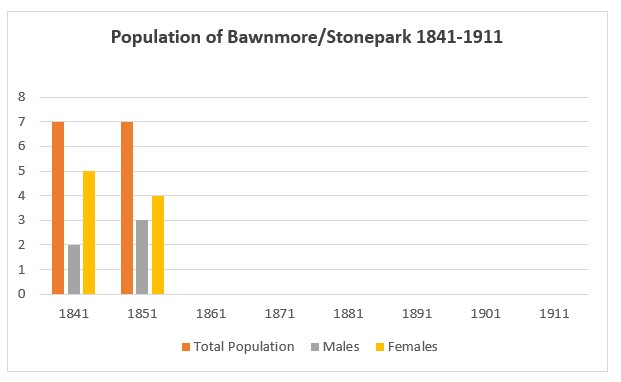
Population Statistics
The following statistics are from the census return records from 1842 to 1891 and the National Archives census returns for 1901 and 1911. (Source: Histpop)
1841: 1 house, 7 people (2 males and 5 females)
1851: 1 house, 7 people, (3 males and 4 females)
1861: No houses
1871: No houses
1881: No houses
1891: No houses
1901: No houses
1911: No houses
1901 and 1911 Census
There are no records for Bawnmore/Stonepark as there were no houses or inhabitants there in 1901 or 1911.
No Comments
Add a comment about this page