
Townlands Named After Natural Features
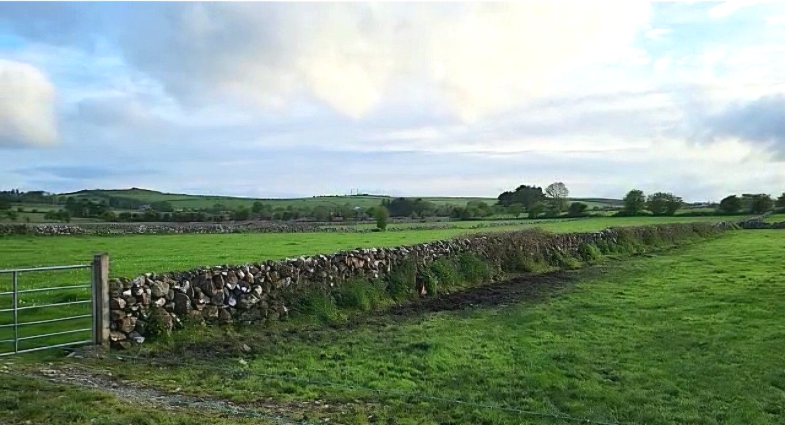
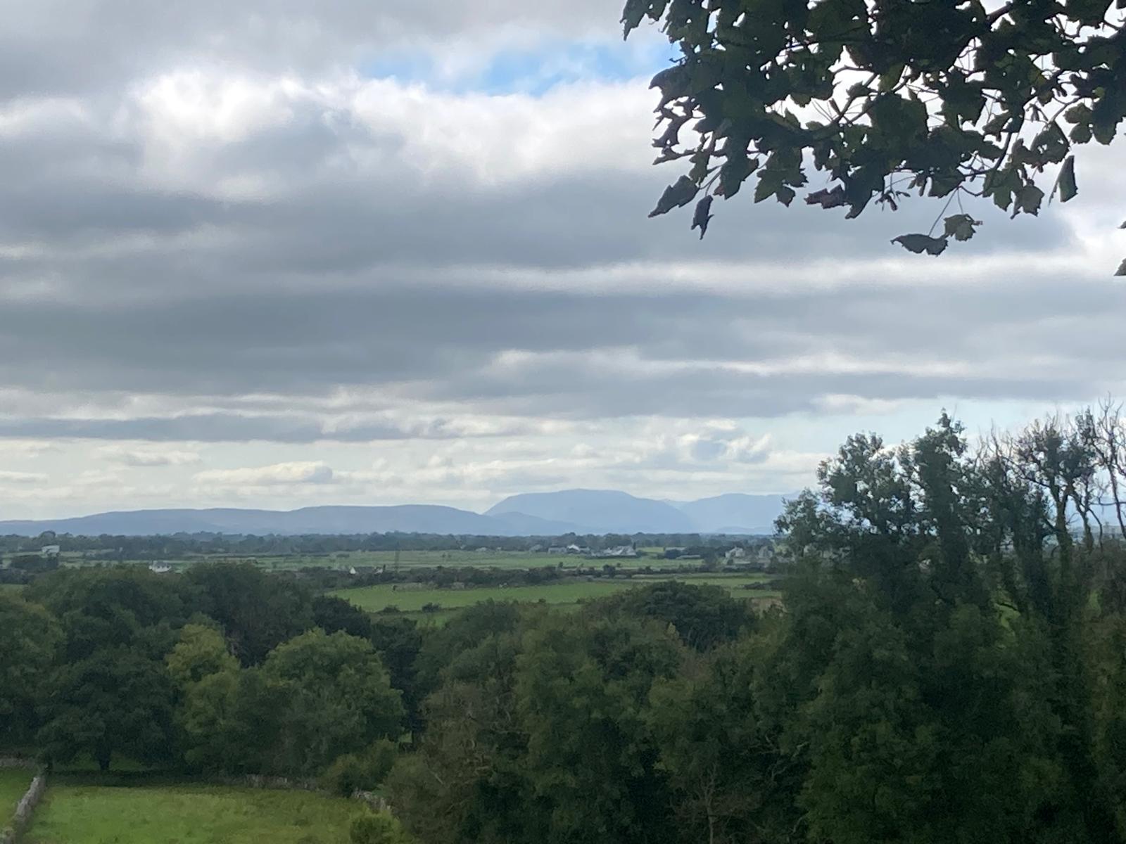
Many townland names are descriptive in nature, influenced by the natural features that define them. Donaghpatrick-Kilcoona is no exception in this regard.
Ballintleva translates as the townland of the moorland or the mountain. Bellanagarraun translates as the approach to the ford of the groves, a ford being a shallow crossing point in a river, while Shrulegrove translates as the flowing stream or river. Inish translates as the island or holm, or the river meadow, while Largan translates as the rising ground or hillside. Pollnahallia translates as the hole or hollow of the cliff. Mausrevagh translates as the striped or brindled buttock (round hill).
Tonacooleen translates as the bottomland of the little nook or corner/angle, while Tonroe translates as the red bottomland, a bottomland being low-lying land or flood plain adjacent to a river. Breadagh translates as the broken ground. A number of other townlands may have been named for natural features. Ballybaun translates as the white townland which may indicate light coloured soils in the townland. Barnaboy translates as the yellow gap which may indicate yellow grasslands or woodland.
Ballinduff translates as the townland of the black earth, however, according to local knowledge the reason the townland received its name was due to the Battle of Ballinduff in 1469. When the fighting ceased, the ground was covered with so much congealed blood that the earth appeared black.
Ballinduff – Baile an Duibh Townland of the Black Earth
Ballintleva – Baile an tSléibhe Townland of the Moorland/Mountain
Ballybaun –An Baile Bán The white townland
Barnaboy – An Beárna Buidhe The Yellow Gap
Bellanagarraun – Béal Áith na nGarrán The approach to the ford of the groves
Inish – Inis Island or Holm or River Meadow
Breadagh – An Bhréadach Broken ground
Largan – An Leargain Rising ground/hillside
Mausrevagh – An Más Riabhach Striped or Brindled Buttock (round hill)
Pollnahallia – Poll na hAille Hole/Hollow of the cliff
Shrulegrove – Sruthair Flowing stream/river
Tonacooleen – Tóin an Chúilín Bottomland of the little nook/corner/angle
Tonroe – An Tóin Rua Red Bottomland
Sources:
Wilde, W. R. (1867) Lough Corrib: Its Shores and Islands. Headford: Kevin Duffy 2002
Ó Muraíle, N. (2020) ‘The Placenames of Cathair Loistreáin/Caherlustraun ‘Caherlistrane’ and Vicinity’ 06 February. Donaghpatrick/Kilcoona Heritage Society
No Comments
Add a comment about this page