
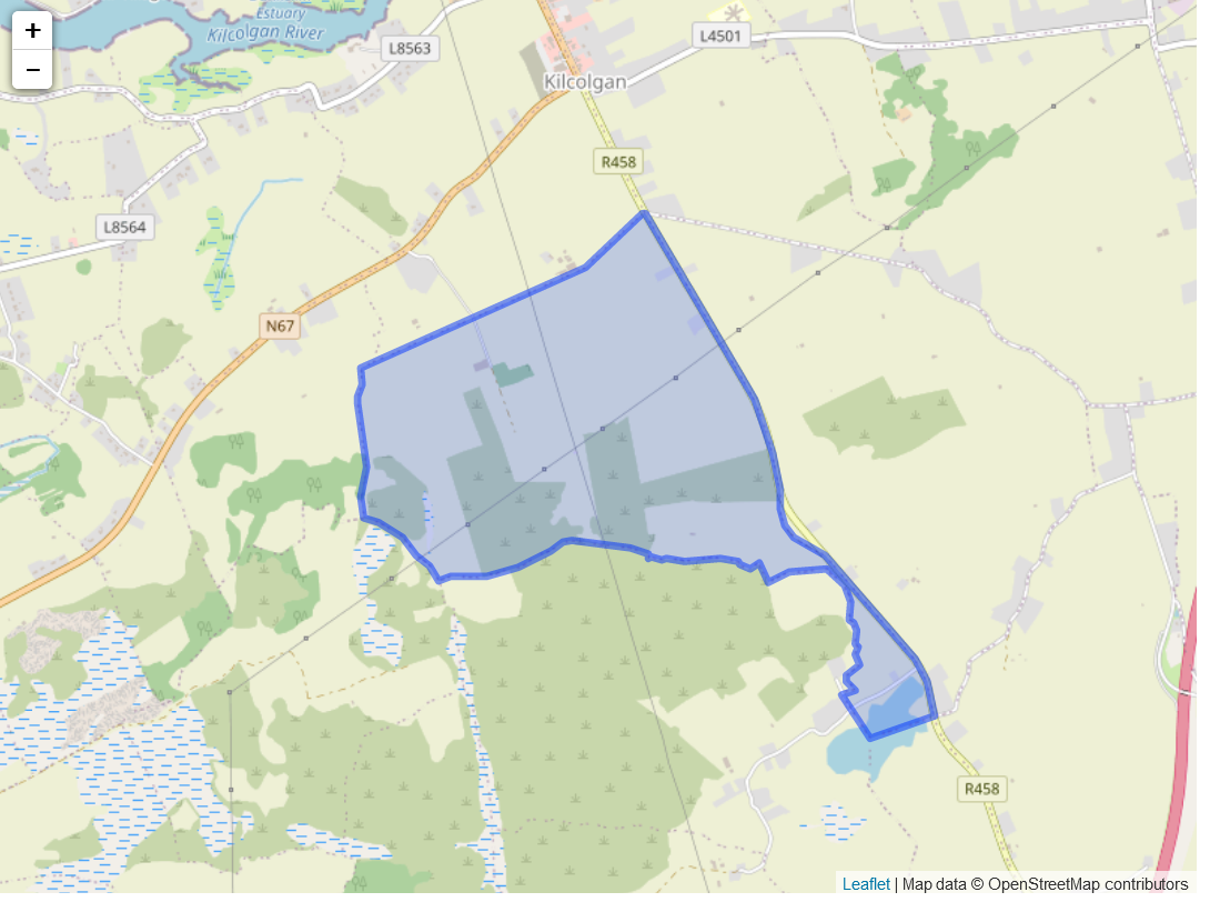
Description: The standard name for the townland was Caherpeak West with the Irish name being Cathuir Peice. This was a central townland bounded by Newtown Kilcolgan on the north, Caherpeak East on the east, Kiltearnan west and Carraghadhn on the south and Culdorish and Killeanmwinterlaan south on the west.
Situation:
The proprietor was A.F. St. George of Tyrone House. The agent was J. O’Hara clerk of peace of Galway. It was held at 12 pence per acre. The soil was poor and full of stones. The houses of stone were in unknown repair and the greater part of the land was uncultivated.
The townlands name in the survey was KnockGarranebane. The owner in 1641 was Henry French FitzWalter who was catholic and in 1670 the owner was Joseph Ormesby who was protestant. There was 160 acres of profitable land, 83 unprofitable and 160 forfeited.
Griffith valuation
Patrick Lynch was mapping reference number one in Caherpeak west. The property was land which was one rood and thirty perches. The land was owned by Christopher St George.
Reference two was the property inhabited by Patrick Flanagan. The property involved the house, offices and land. It covered one acre, three roods and two perches. It was worth one pound and fifteen shillings. The landowner was the same as before.
Map reference three was the property inhabited by James Murphy, this involved only the land he rented. The land was twenty acres and thirty six perches. It was valued at seven pounds and ten shillings The landlord was the same as before.
Map reference four was the property rented by Bryan Lennane. This only involved the land. The land was seventeen acres and thirty perches and was valued at six pounds. The landlord was the same as before.
Map reference five was the property rented by Arthur St. George. This was only the land. This was thirty seven acres, two roods and four perches this was valued at thirty seven pounds. The landlord was the same as before.
Map reference six was John Cunniffe. He rented the land which was eighteen acres and thirty five perches. This was valued at six pounds. The landlord was the same as before.
Map reference seven was James Murphy. He rented the land which was nineteen acres, two roods and twenty perches. The land was valued at five pounds and the landlord was the same as before.
Map reference eight was Thomas M. Persse. He rented the land which was fifty seven acres, one rood and twenty seven perches. The land was valued at fourteen pounds and the landlord was the same as before.
Map reference nine was Henry Comerford. This was the land which was two hundred and five acres, two roods and thirty four perches. This land was valued at thirty eight pounds. The landlord was the same as before.
Map reference ten was Patrick Kinneen. This involved the house, offices, water and the land. The land was nineteen acres and one rood. The water was eight acres, two roods and seventeen perches. This was valued at eight pounds. The landlord was the same as before.
No Comments
Add a comment about this page