
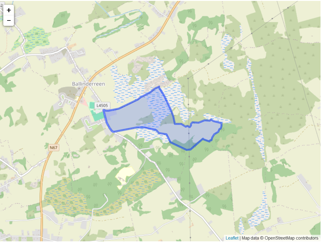
Situation: The standard name for the townland was Muggaunagh, with the Irish name being Magh Gamhnach. bounded by Drumacoo on the north, Culdooish at the east, Killeenavara on the south and Gurtarova on the west.
Description:
The proprietor was M. Blake of Cloughballymore with the agent being A. Blake of Brownville. Nearly all the land was limestone rock. There were twelve tenants with only two residing there and the others living in adjacent property. It was seven shillings per acre. There was only two houses in poor condition. The townland was at the southwest of the Parish,
The name given to the townland in the survey was Mongan. The owner in 1641 was lord Clanmorris who was catholic. The owner in 1670 was Nicholas Browne who was protestant. There was 52 acres of profitable land and 113 acres of unprofitable land, with 52 acres forfeited.
Map reference one was Rep. Maurice Blake. The land was 145 acres, 1 rood and 16 perches. This was worth 28 pounds and he owned the land.
No Comments
Add a comment about this page