
Situation: The standard name for the townland was Parkeighter with the Irish name being Páirc Íochtair. Other names for the townland include: Parkeeghter Freehold Registry.
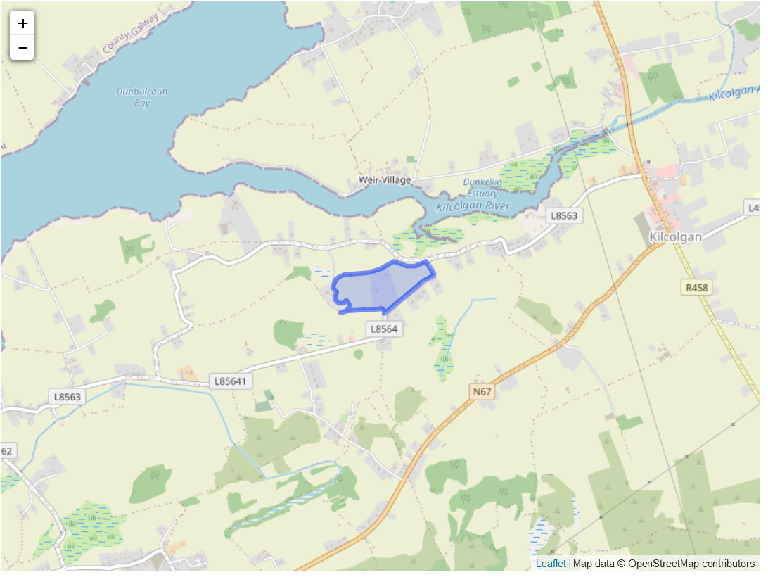
Parkeighter High Constable for the Barony, Paurkeeghter Sketch Map. The townland was at the north-west of the parish. It was bordered on the north by Roighmore and Stradbally Parish, by Killeanmwinterlaan north on the east and south and Drumacoo Parish on the west.
Description:
The north side of the land consisted of plantations. The south part was a pasture with nothing else of note.
The name of the townland in the survey was Stradbally. The owner in 1641 and 1670 was the earl of Clanrickard. There was 167 acres of unprofitable land and 376 acres of profitable land.
Griffith valuation
Map reference one was Matthew Concannon who owned the land. This was 18 acres and 19 perches. This was worth 11 pounds and the landlord was Christopher St. George.
Map reference two was Christopher St. George. This referred to the plantation which was 8 acres and two roods. This was worth 4 pounds and he was the landowner.
No Comments
Add a comment about this page