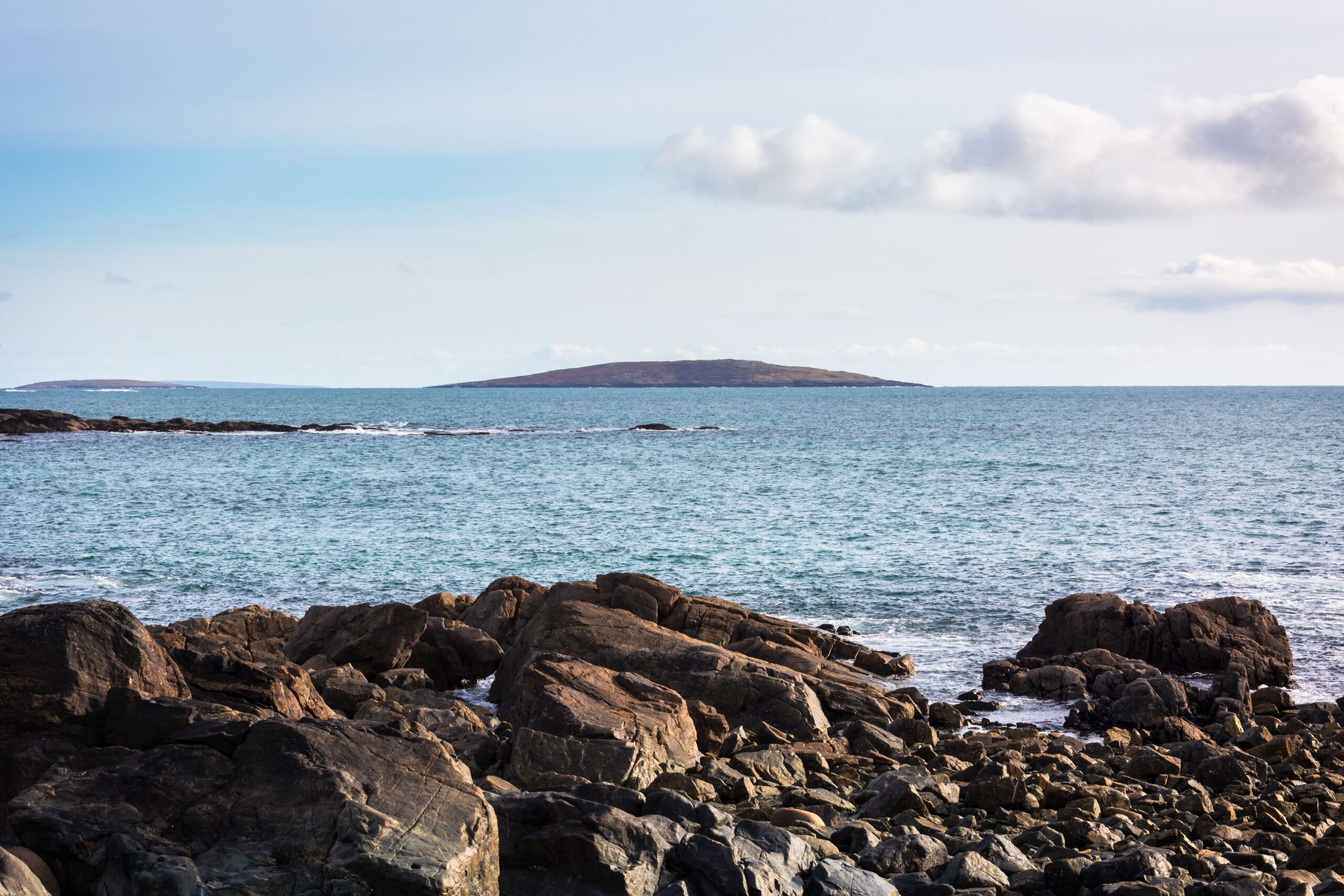
Croaghnakeela Island

Co. Galway, Ireland
Townland: Croaghnakeela Island
Civil Parish: Moyrus
Barony: Ballynahinch
Church Parish: Carna
District Electoral Division: Knockboy
Area: 205.64 acres / 205 acres, 2 roods, 23 perches
Baptism and Marriage records for Carna R.C. Parish 1821-1881
1911 Census for Croaghnakeela Island (no records)
1901 Census for Croaghnakeela Island (no records)
Old Pension Census (1841-1851) for Croaghnakeela Island (No records)
Galway Library for Croaghnakeela Island (no records)
Logainm for Croaghnakeela Island
NUI Galway Digital Collections for Croaghnakeela Island
West Connemara men who lost their lives in WWI (Clifden and Connemara Heritage Society)
Griffith’s Valuation (1847-1864) for Croaghnakeela Island
The Directors of the Law Life Assurance Co. owned the 141acres, 3 roods and 29 perches of Croaghnakeela Island for which for which it had an annual ratable Valuation of £12. There also 3 islands with a total area of 14 acres, 1 rood and 15 perches of no agricultural value that also belonged to the Directors of the Law Life Assurance Co.
1670 Down Survey for Croaghnakeela Island
The 1670 Down Survey name for this area was Croagh Island. The 1641 owner was Murragh O’Flaharty and Richard Martin was the owner in 1670, both were Catholic. There were 13 plantation acres of unprofitable land, 1 plantation acre of profitable land and 1 plantation acre was forfeited.
No Comments
Add a comment about this page