Kanrawer

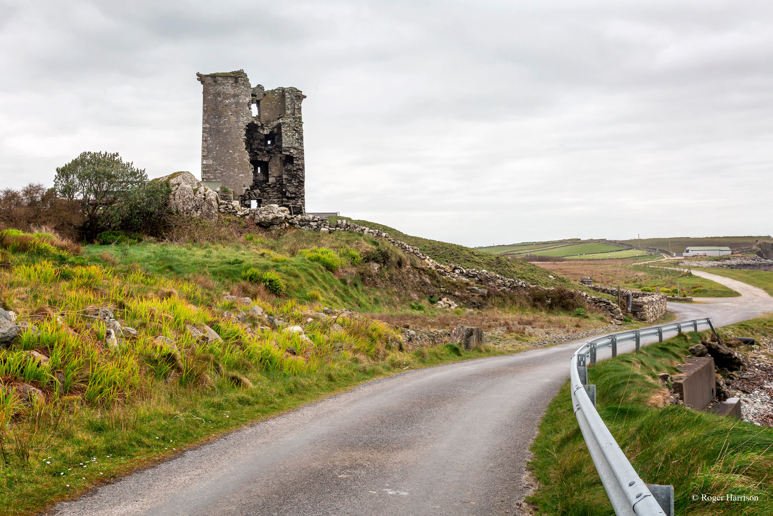
Coastguard Station, Co. Galway, Ireland
Townland: Kanrawer
Civil Parish: Ballynakill
Barony: Ballynahinch
Church Parish: Letterfrack
District Electoral Division: Rinvyle
Area: 69.78 acres / 69 acres, 3 roods, 4 perches
Baptism and Marriage records for Letterfrack R.C. Parish 1821-1881
1911 Census for Kanrawer (no records)
1901 Census for Kanrawer (no records)
Old Pension Census (1841-1851) for Kanrawer (no records)
NUI Galway Digital Collections for Kanrawer
West Connemara men who lost their lives in WWI (Clifden and Connemara Heritage Society)
Griffith’s Valuation (1847-1864) for Kanrawer
According to Griffith’s Valuation (1947-1864), Ethelstane H. Blake leased a house on 70 acres, 1 rood and 12 perches of land from Henry Blake for £48 for the land and £4 for the house.
1670 Down Survey for Kanrawer
Other names that this area was known by in the 1670 Down Survey were Keilemore, Glancarbdemore, Gortnefunshine, Rossynelee and Shanaharaghane. The 1641 owner was Edmund O’Flaharty and the 1670 owner was James Darcy, both of whom were Catholics.
No Comments
Add a comment about this page