
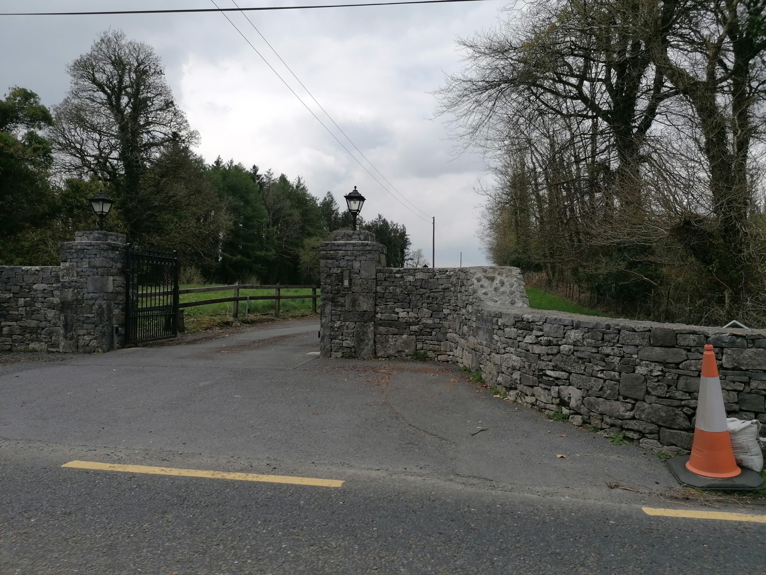
Translation: O’Kyne’s town.
The Down Survey:
The Down Survey of Ireland carried out by William Petty an English scientist in 1655 and 1656 is the first ever detailed land survey on a national scale anywhere in the world. The Down Survey is a cadastral survey of Ireland and was so called simply by its topographic details being all laid down by admeasurement on maps. The survey sought to define legal property boundaries and measure all the land to be forfeited by the Catholic Irish in order to facilitate it’s redistribution to merchant adventurers and English officers and soldiers in Oliver Cromwell’s army. It was to repay them and the many English politicians and adventurers who had funded Cromwell’s military campaign in Ireland.
The Down Survey name name for Ballykine Lower was Liscoyle. In 1641(pre Cromwell) the owner was Andrew Lynch and he was Catholic. In 1670 (post Cromwell) Ballykine was still in the ownership of John Lynch a Catholic. Ballykine Lower is in County Mayo, in the Barony of Killmaine and is in the parish of Conge (sic).
O Donovan’s Field Name Books 1838:
The standard name for the townland was Ballykine (J. O’D), Ballykein (Stafford’s Survey) and Ballechine (Inq. Temp. Jac. 1). It contained159 acres, 3 roods and 38 perches of land, including 11 acres, 3 roods and 11 perches of water.
Situation:
It is situated in the northwest corner of the parish and bounded on the north and west by Lough Mask; to the south by the townland of Ballykine Upper and to the east by the townland of Dringeen Oughter.
Description:
O’ Donovan tells us Ballykine Lower it is the property of Martin D’arcy, Esq., but was mortgaged to Charles Blake, Esq., of Merlin Park, and at present in the possession of Lords Leitrim and Charlemont by a lease renewable for ever from Martin D’arcy, Esq. Part of it is sublet to under tenants at a yearly rent of from 5 shillings to 20 shillings per acre. The under tenants are all Catholics. There is an old castle, a cave and a fort in this townland.
Griffith’s Valuation 1855:
According to Griffith’s valuation Ballykine Lower (Ordnance Survey Sheet 120) the land area for this townland was 455 acres, 3 roods and 36 perches. The Earls of Leitrim and Charlemont were the proprietors, and they had tenants who were occupiers and they paid the Earls an annual sum for their portion according to its valuation.
Plot 1: Anthony Kyne (sic) had 53 acres, 1rood and 8 perches of land for which he paid a total annual sum of £4 and 10 shillings.
Plot 2: The Earls were in fee for a herd’s house, office and land. The land amount was 54 acres, 3 roods and 3perches that had an annual valuation of £10 and 5 shillings and the buildings had an annual valuation of 15 shillings.
Plot 3: The Earls held 5 acres and 20 perches of land that had an annual valuation of £3.
Plot Ab: They held plantation land that measured 1 rood and 35 perches that had an annual valuation of 5 shillings. Their total annual valuation of rateable property on plot 2, plot 3 and plot 4b was £14 and 5 shillings.
Plot 4 (a): Michael Higgins had a herd’s house and land. The land amount was 180 acres, 1 rood and 12 perches that had an annual valuation of £63 and 15 shillings. The herd’s house had an annual valuation of 5 shillings.
Plot 5: Michael Higgins also had wood land with acreage of 68 acres, 3 roods and 7 perches with an annual valuation of £8 and 10 shillings. Michael’s total annual valuation of rateable property was £72 and 10 shillings that he paid to the Earls.
Plot 6: Adam Neill had 46 acres, 1 rood and 2 perches with an annual valuation of £11.
Plot 7: Patrick Loftus had 13 acres, 1 rood and 10 perches of land that had an annual valuation of £10.
Plot 8: Patrick Kyne had a house and land. The land measured 1 acre, 1 rood and 35 perches that had an annual valuation of £1. He paid an annual sum of 5 shillings for the house. His total annual valuation of rateable property was £1 and 5 shillings.
Plot 9: Martin Varily (sic) had a house, office and land. The land amount was 14 acres and 23 perches and had an annual valuation of £6 and 15 shillings. The buildings were valued at 10 shillings. Martin’s total annual valuation of rateable property was £7 and 5 shillings. All yearly rentals were paid to the Earls of Leitrim and Charlemont.
Lake water covered an area of 9 acres and 3 perches and this had no valuation.
1901 Census for Ballykine Lower:
Constable Richard Daly collected the census for Ballykine Lower on 10thApril 1901. There were two dwellings in this area that were situated on land owned by Lord Ardilaun. One house was vacant and the other had a Maclean family residing in it.
No 1: was a private dwelling that was uninhabited according to the House and Building Return (Form B1). Lord Ardilaun was the name of the landholder on whose holding the house was situated. There were seven outbuildings on the property; a stable, a coach house, a cow house, a fowl house, a turf shed and a shed. (Form B.2. Return of Out Offices and Farm Steadings).
No 2: Charles Maclean (46) a gamekeeper and his wife Margaret (40) had six daughters and three sons. Mary Anne was (16), Jessie (15) Maggie (11), Olive (6), Ethel (4) and Violet (3). Their sons were Hugh (12), Charles (9) and Donald (8). The six older children were scholars and like their parents, could read and write. Charles and his wife were born in Scotland. Jessie, Hugh, Maggie, Charles and Donald were born in County Galway, and Ethel and Violet were born in County Mayo. The parents were Presbyterian and the children were Church of Ireland. The house was 2ndclass with a slate roof and it had six windows to the front. The family of eleven occupied six rooms. There was a stable, a coach house, a cow house, a fowl house, a turf house and a shed on the property.
1911 Census for Ballykine Lower:
Constable John Gallagher collected this census on 11thApril 1911. There were two private dwellings; number one was occupied by the Maclean family and Lord Ardilaun was the name of the landholder where the house was situated. House number two was vacant.
No 1: Charles Mclean (57) a gamekeeper was married to Margaret (50) for twenty seven years and they had nine children. Ian (19) and his brother Donald (18) were rabbit trappers. (1901 census had Ian listed as Charles). Olive (17), Irene (14) and Violet (13) were scholars. All members of this household could read and write and were all now of the Presbyterian persuasion. (1901 census had the parents documented as Presbyterian and the children Church of Ireland). The house was 2ndclass with a slate roof and it had six windows to the front. There were twelve out offices on the premises; a stable, a coach house, a harness room, a cow house, a dairy, a fowl house, a barn, a shed and four kennels. Lord Ardilaun was the name of the landholder on whose holding the house was situated.
No 2: was a private dwelling that was uninhabited according to the House and Building Return (Form B1). It does not give the name of the landholder or any particulars on the outbuildings.
Comments about this page
On the public noticeboard maps for the woods around Clonbur, it has the ruined house in the north of Ballykine Lower as Kelly’s House – do you know why it’s called Kelly’s House?, I can’t find any reference to a Kelly in the census data apart from an enumerator called Richard Kelly who was a constable.
Add a comment about this page