
The Down Survey 1656:
The Down Survey of Ireland is the first ever detailed land survey on a national scale anywhere in the world. The survey is a cadastral survey of Ireland and was so called simply by its topographic details all laid down by admeasurements on maps. It was carried out by William Petty an English scientist in 1655 and 1656. The survey sought to measure all the land to be forfeited by the Catholic Irish, in order to facilitate its redistribution to merchant adventurers and English officers and soldiers in Oliver Cromwell’s army. It was to repay them and the many English politicians and adventurers who had funded Cromwell’s military campaign in Ireland.
The Down Survey name for this townland is Mountterone. In 1641 (pre Cromwell) the owner was Sir Thomas Blake a protestant. In 1670 (post Cromwell) it remained in the protestant ownership of College of Dublin; John Brown. It is in the half barony of Ross, in the parish of Ross in County Galway. There was 604 plantation acres of unprofitable land; 71 acres of profitable land and the profitable land was forfeited.
O’Donovan’s Field Name Books 1838: John O’Donovan tells us the standard name for the townland was Muntierowen and the Irish form of the name was Muintir Eoghain meaning Owen’s family.
Other forms of the name: Muntierowen West (Boundary Surveyors Sketch Map), Munterowen (Co. Cess Collector), Mounterown (Do. 1760), Monterowen (Leases 1837), Muntherown (Local), Minterowen (Map of property 1815), Menterowen (Rev. Michael Heraghty P.P.), Munterowen (Tithe Ledger).
Description: The proprietor of the townland was Sir Valentine Blake of Minlow near Galway. The rent was £18.9.3 per year. The soil was part steep pasture; some arable mountain, some coarse mixed and arable mountain. Crops of oats and potatoes were middling good. The Co. Cess of 11¼d was paid per acre half yearly, for 22½ acres. Muntierowen is a village with no antiquities.
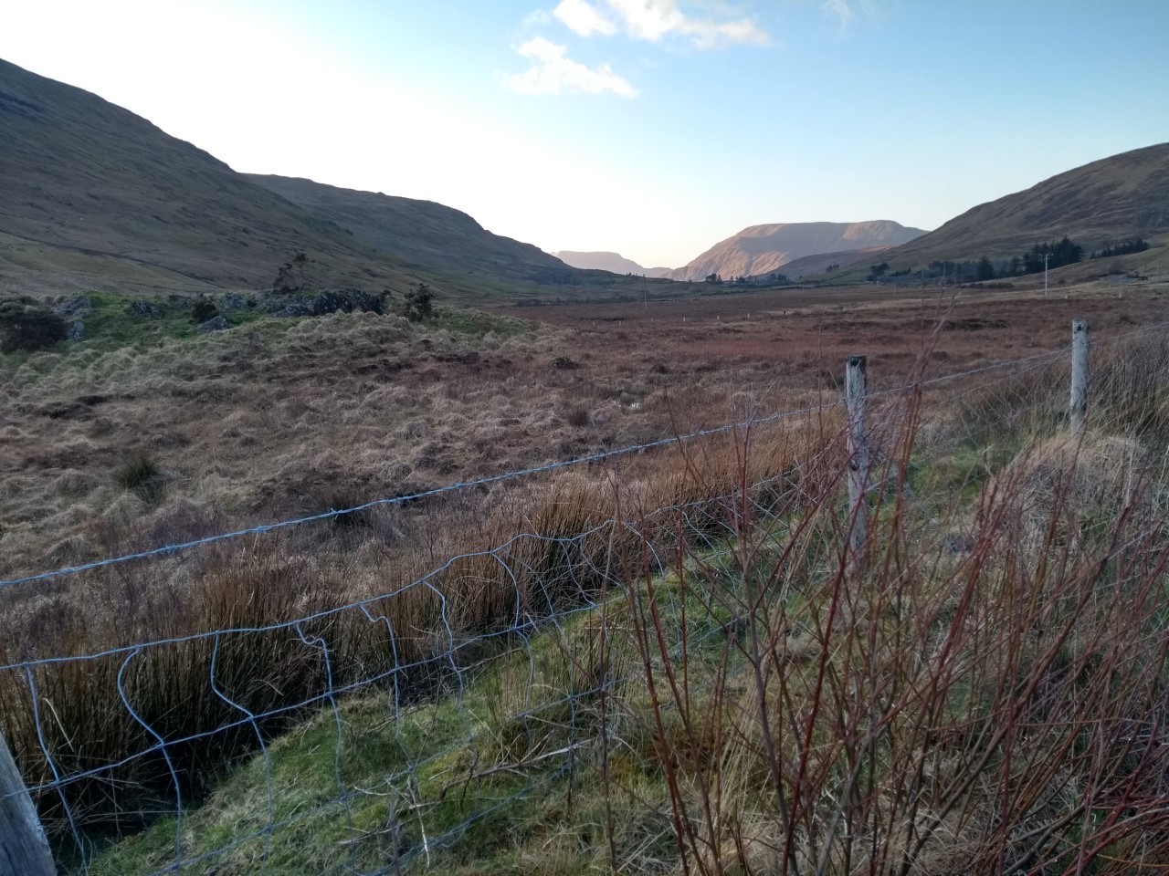
Situation: it is a central townland; bounded on the north by the townlands of Culliagh, West by Leanaan (sic) and Bunnaviskaun, to the south by Bunnaviskaun and Lee and on the east by Muntierowen Middle. It is in the barony of Ross and is in County Galway.
Griffith’s Valuation:
According to Griffith’s valuation Muntierowen (ordnance survey sheet 12 & 25) had an area of 265 acres, 1 rood and 17 perches. Edward Brown was the owner and he had one tenant.
Plot 1: Patrick Joyce had the lease of a house, office and land. He had 265 acres, 1 rood and 17 perches of land that had an annual valuation of £13 and 10 shillings; the buildings had an annual valuation of £1. Patrick’s total annual rent was £14 and 10 shillings; payable to Edward Brown.
Census 1901:
Constable Thomas Parkinson the enumerator collected the census return for Mounterone (sic) west in the electoral division of Letterbrickane (sic) on the 5th April 1901. Only one family was resident here at the time.
House no 1: Thomas Francis Joyce (44) born in Monterone, Co. Galway and his wife Sabina (32) were farmers and they had seven children in 1901; Patrick (12), Mary (10), Anna (9), Sabina (7) and Sarah (4) were scholars; Magdalen was (2) and Thomas Francis (1) year old. . Sabina and the rest of the household were born in Co. Galway. The parents and school age children could read and write and spoke Irish and English. Thomas Lyden (sic) (19) and John Casey (24) were farm servants; Ann O’Malley (22) was a domestic farm servant. None could read; all three were bilingual. The house was 1st class with seven windows in front and twelve people occupied seven rooms. There were ten out offices on the property; a stable, a coach house, a harness room, a cow house, a calf house, a piggery, a fowl house, a barn, a potato house and a store.
Census 1911:
Constable Joseph Carlos collected the census return for Monterowen (sic) on the 10th of April 1911. One inhabited house remained.
Ten years on, the census was expanded to include the following: Particulars as to Marriage / completed years the present marriage has lasted / children born alive to present marriage and children still living. It reveals that many families experienced the loss of one or more children.
House no 1: John Joyce (56) a shepherd and his wife Mary (40) were married for nineteen years and they had eleven children, ten were still living and seven are recorded on this census return. Michael (12) and John (11) were agricultural labourers; Julia was (10), Annie (7), Sarah (5), Kate (2) and the infant Ellen (9) months old. None of in this household could read; all were bilingual. The house was 2nd class with six windows in front and the family of nine occupied six rooms. There were nine out offices on the holding that consisted of a stable, a coach house, a cow house, a calf house, a dairy, a piggery, a fowl house, a turf house, and a potato house. Thomas Francis Joyce was the name of the landholder where the house was situated.
No Comments
Add a comment about this page