


Meaning: Back Land
The Down Survey:
The Down Survey of Ireland carried out by William Petty an English scientist in 1655 and 1656 is the first ever detailed land survey on a national scale anywhere in the world. The Down Survey is a cadastral survey of Ireland and was so called simply by its topographic details being all laid down by admeasurement on maps. The survey sought to define legal property boundaries and measure all the land to be forfeited by the Catholic Irish in order to facilitate it’s redistribution to merchant adventurers and English officers and soldiers in Oliver Cromwell’s army. It was to repay them and the many English politicians and adventurers who had funded Cromwell’s military campaign in Ireland.
The Down Survey Name for Coolin was In Carnalyn. In 1641 (pre Cromwell) the owner(s) were catholic and named Mc Rickard Mc Edmund Thom Shoy. 1670 (post Cromwell) it was in the ownership of College of Dublin (protestant). The townland of Coolin was in the half barony of Rosse (sic), in the parish of Rosse and in County Galway. There were 117 plantation acres of unprofitable land and 26 plantation acres of profitable land. The profitable land was forfeited.
O’Donovan’s Field Name Books 1838:
O’Donovan describes Coolin as a central townland.
Situation:
He further states that Coolin is in the south east corner of the parish; bounded in the north by the townlands of Cahergal, Bookaun and Shannadullaun, on the west by Shannadullaun and Thornleghee or Townanal and bounded to the south by Ballydoolough and the parish of Cong and on the east by Ballyveehaun, Kilbeg Upper and Cahergal. Coolin is in the Civil Parish of Cong, in the Barony of Ross, and in Co. Galway.
O’ Donovan provides us with a number of variant forms of the spellings for the townland; Coolin, Culann, Culan, Coolin (By.Surveyors Sketch Map),Coolin, (Rev.MichaelHeraty (sic) P.P.),Coolin (Local),Coolin (Mearsman),Coolin (Co. Cess Collector) and Coolin (Tithe Ledger).
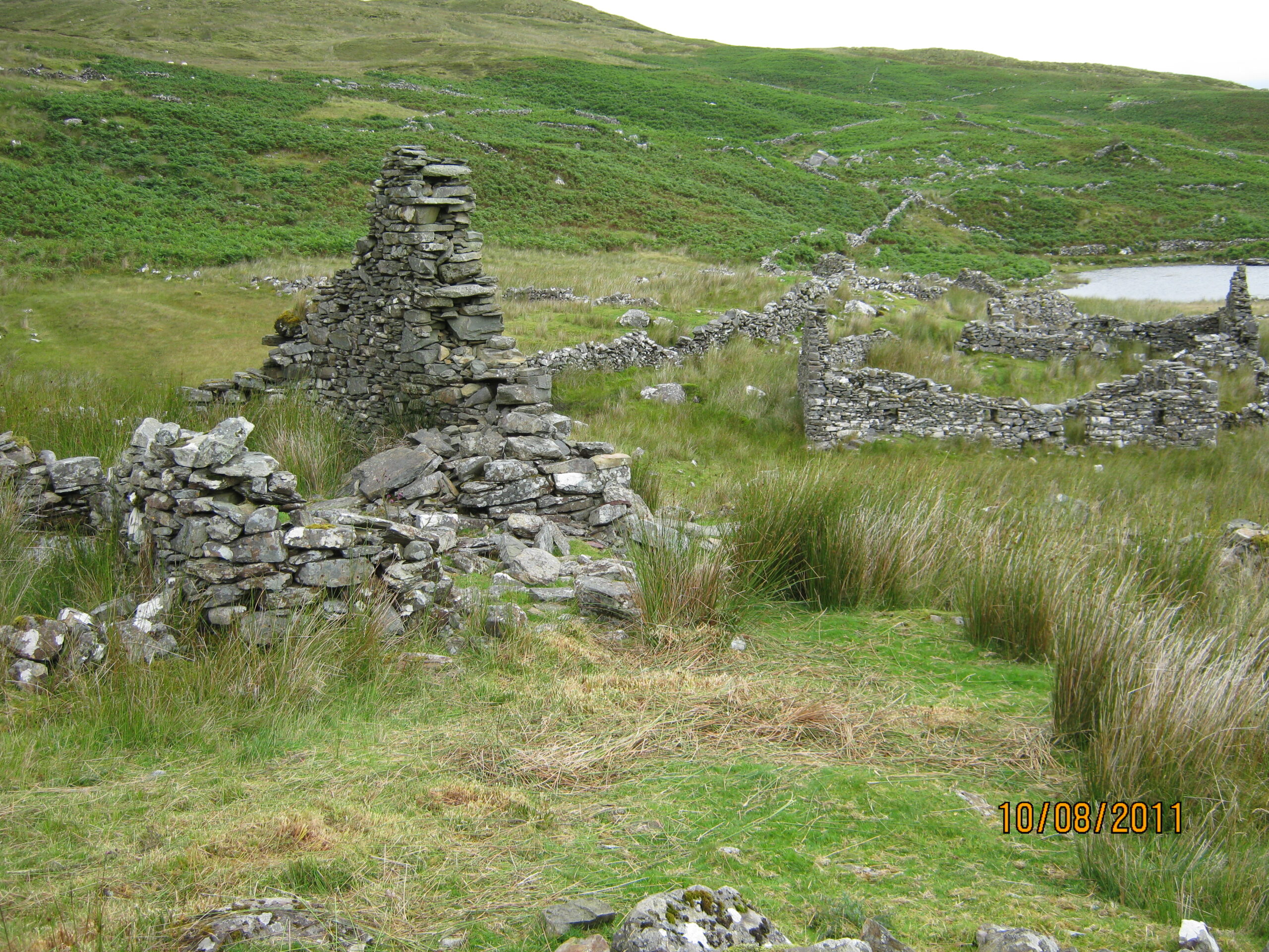
Description:
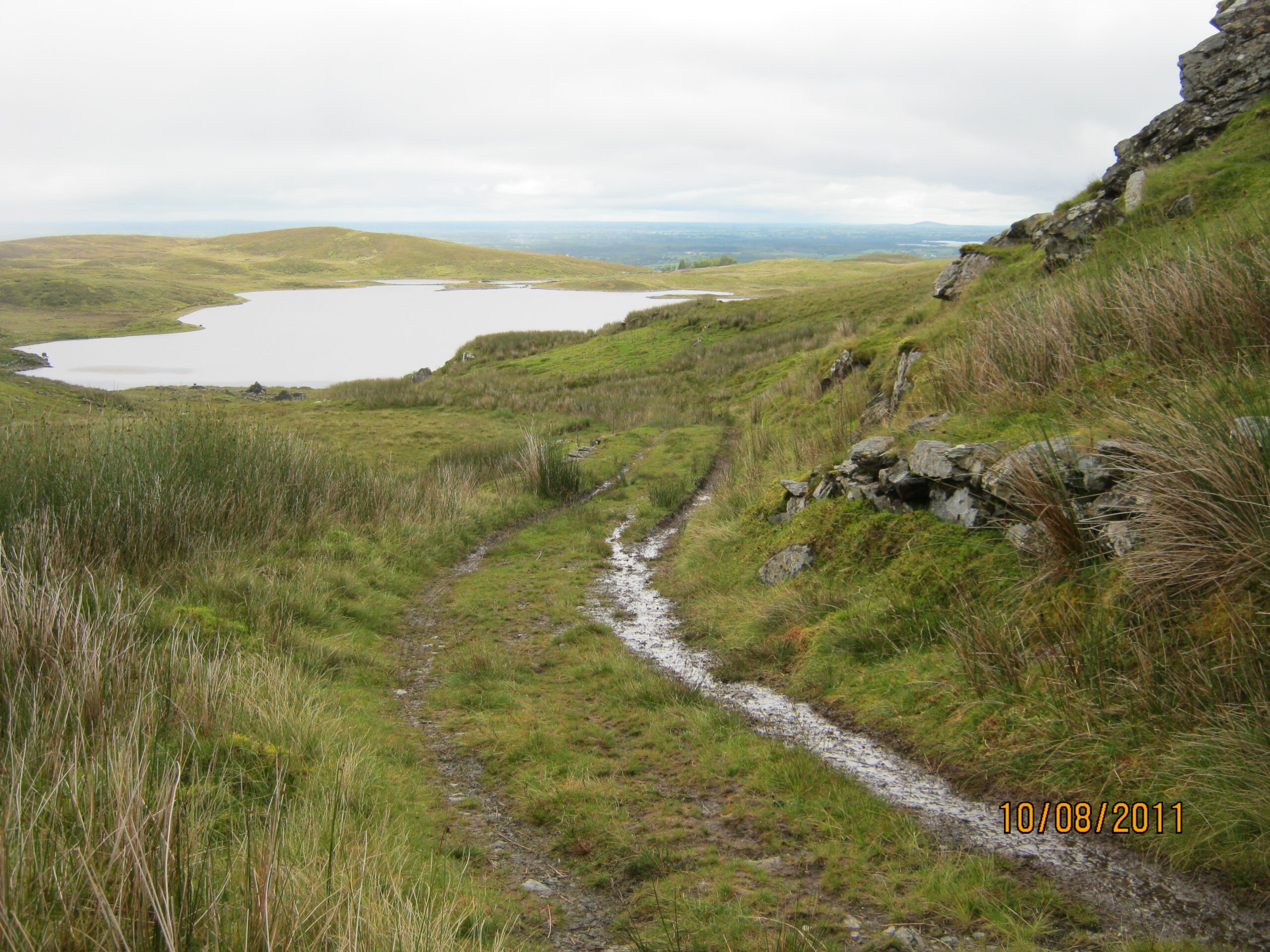
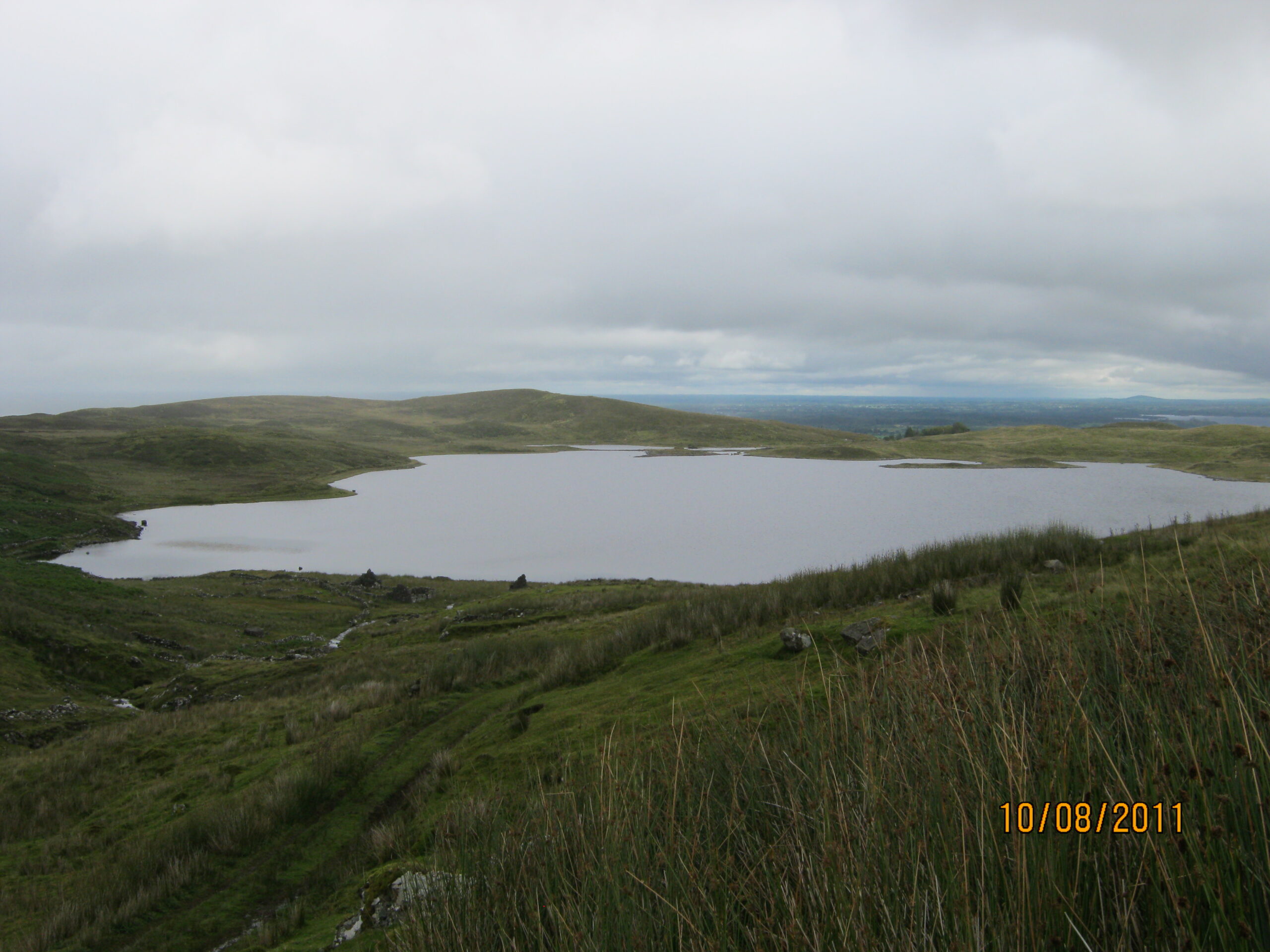
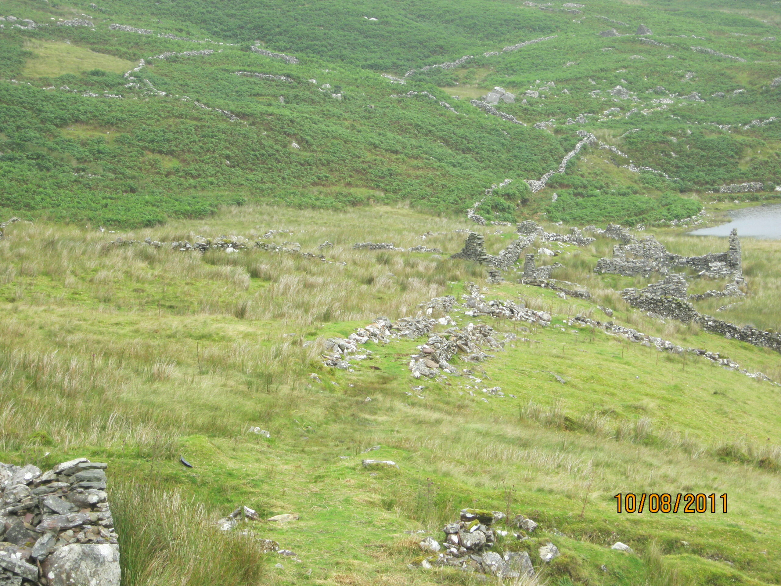
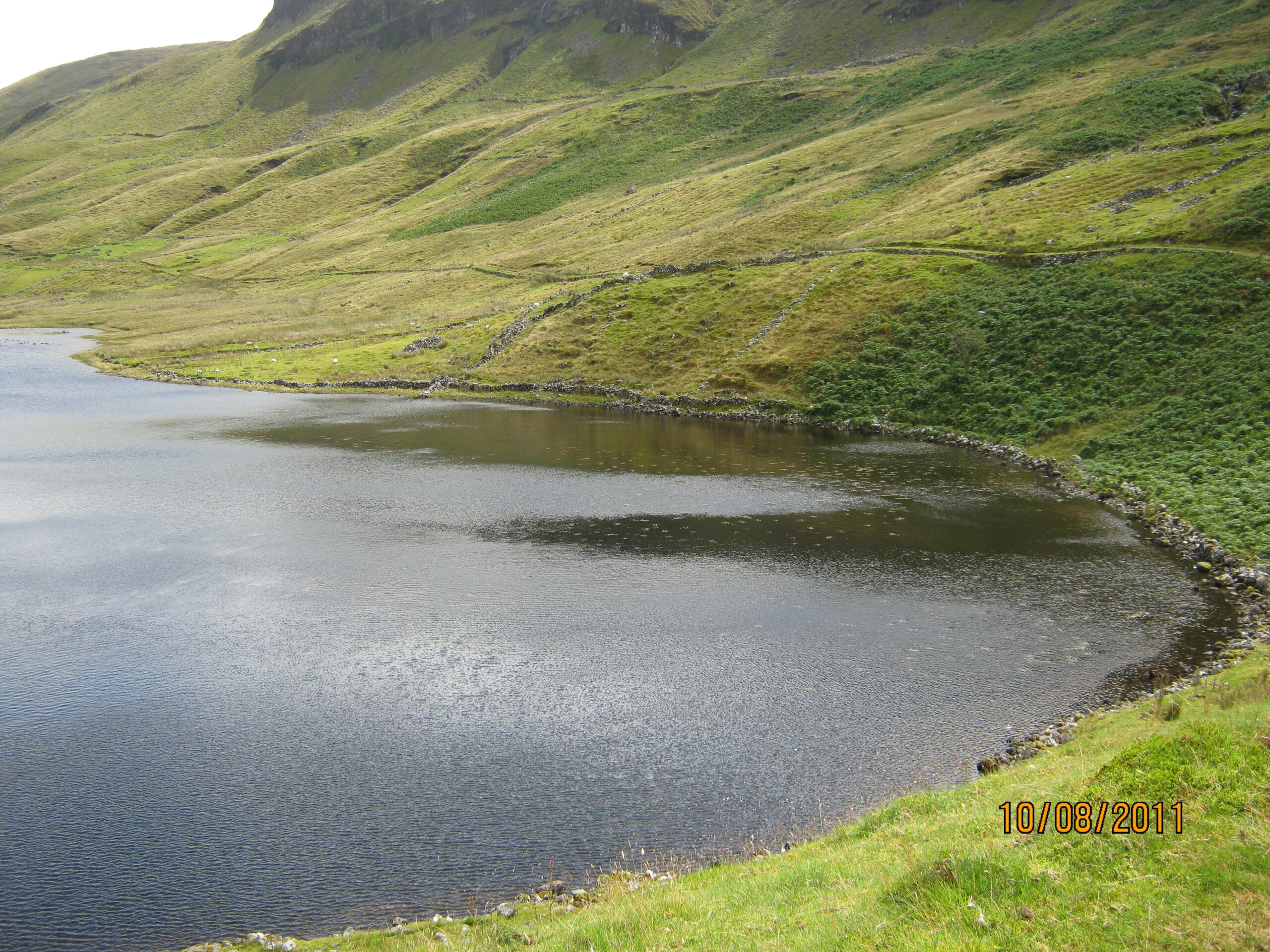
The proprietor was the Earl of Leitrim and Charlemont and the agent was Mr. James Fair, Fairhill, Ross parish. It was all held by tenants for a bulked rent of £20, 4 shillings and 5 pence. The soil is described as being mountainous, some of it steep, heathy green and pasturable. Some of it swamp, some arable mountain with tillage attached to the small village of Coolin. Middling crops of oats and potatoes were grown considering such soil. Lough, village and mountain of Coolin had a Co.Cess of 11¼ d. paid half yearly. There are no antiquities.
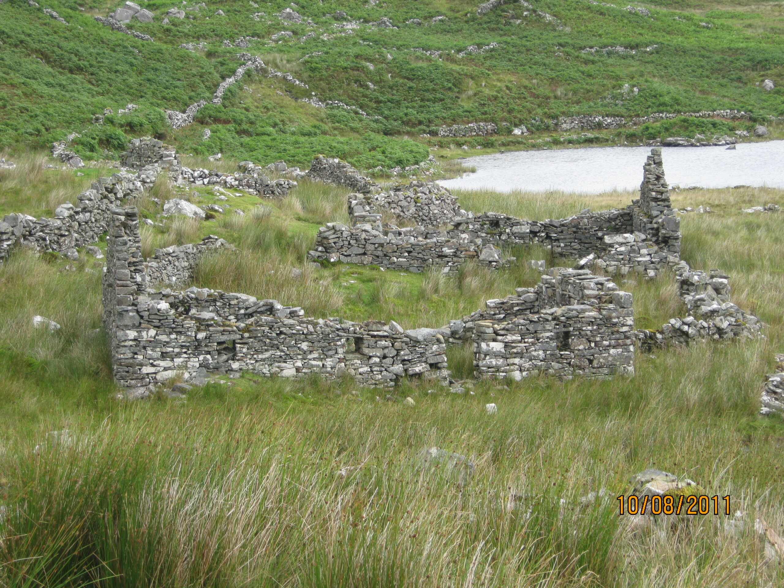
Griffith’s Valuation 1850:
The townland had an area of 427 acres, 1 rood and 15 perches. The immediate lessors were the Earls of Leitrim and Charlemont and they had two tenants on the property. There was an area of 43 acres and 7 perches under water that had no rateable valuation.
Plot 1consisted of 384 acres, 1 rood and 8 perches and had two occupiers: James Halloranpaid a total annual sum of £10 for his piece of land, and Thaddeus Halloranpaid a total annual sum of £5 for his portion of land.
No online census available for this townland.
No Comments
Add a comment about this page